01
Boundary Surveys
Establish and document property lines for planning, improvements and boundary questions.
Clear scope, precise fieldwork and survey-ready documentation for homeowners, architects, builders, real estate teams, attorneys and public agencies.
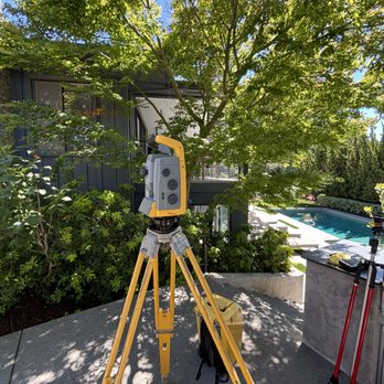
Tell us the property, deadline and what your architect, contractor, title team or agency is asking for.
No giant wall of technical jargon. Start with your project goal and we’ll help align the survey scope to the work in front of you.
Establish and document property lines for planning, improvements and boundary questions.
Map site features and elevations for architects, engineers, landscape design and permitting.
Translate approved plans into accurate field layout for contractors and construction teams.
Detailed survey documentation for commercial real estate, title and transaction requirements.
Elevation documentation for flood-related requirements, insurance and project records.
Repeatable measurements to document movement or change over time at structures and sites.
High-precision positioning workflows adapted to the needs of each project.
Survey support and mapping for condominium projects and related documentation.
Surveying and certification support when a local agency requires project-specific documentation.
Lombard pairs professional field and drafting tools with the responsiveness of a focused surveying practice.
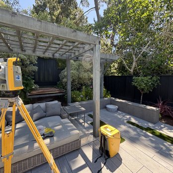
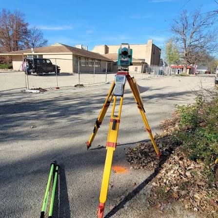
Share the property address or APN, project type, requested deliverable and any timing constraints.
We align the work to the actual need so you know what is being surveyed and why.
Measurements are collected, processed and delivered in the format appropriate for the project.
Lombard Land Surveying serves private clients and government agencies throughout the core San Francisco Bay Area.
Send the address, the service you think you need and your deadline. We’ll help you get to the right scope quickly.
Share the basics and we'll follow up by email or phone.